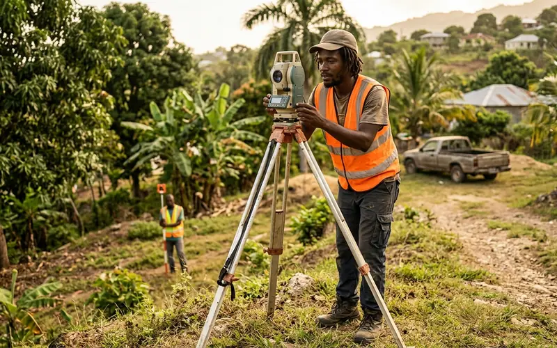
Measure and map land boundaries, building sites and terrain using GPS, total stations and drones. Commissioned land surveyors prepare the survey plans needed for land titles, subdivisions and construction across Jamaica.
Salary Breakdown
Survey assistant or graduate surveyor working in the field and on CAD drawings. Indicative market estimate, not a published salary scale.
Estimated Take-Home Pay
Based on the midpoint of the Entry salary range ($1,750,000 JMD), after NIS, NHT, Education Tax, and PAYE.
Show deduction breakdown
- Gross (annual)
- $1,750,000 JMD
- NIS (3%)
- −$52,500 JMD
- NHT (2%)
- −$35,000 JMD
- Education Tax
- −$38,193 JMD
- PAYE Income Tax
- −$0 JMD
- Net (annual)
- $1,624,306 JMD
Estimate only — illustrative rates and thresholds, not tax advice. Confirm current figures with Tax Administration Jamaica (TAJ) and the National Insurance Scheme (NIS).
Career Path Roadmap
- 1
Build Maths & Geography
CSEC Mathematics, Geography, Technical Drawing and English A are good foundations.
Secondary school - 2
Study Surveying
Earn a degree in Surveying and Geographic Information Sciences at UTech.
4 years - 3
Gain Field Experience
Work under a commissioned land surveyor on boundary and construction surveys.
2 - 3 years - 4
Get Commissioned
Meet Land Surveyors Board of Jamaica requirements and exams to become a Commissioned Land Surveyor.
1 - 2 years - 5
Open a Practice or Specialise
Run your own survey firm or specialise in GIS, drone mapping or engineering surveys.
Ongoing
Required Education
- CSEC Mathematics, Geography and Technical Drawing
- BSc Surveying and Geographic Information Sciences
- Commission from the Land Surveyors Board
Common Local Certifications
- Commissioned Land Surveyor - Land Surveyors Board of Jamaica
- GIS software certifications
- Drone pilot registration (for aerial mapping)
Where to Train


Local Institutions Offering Programs
- University of Technology, Jamaica (UTech)
- Employer route: National Land Agency; commissioning is done by the Land Surveyors Board of Jamaica
- University of the West Indies, Mona (Geography & GIS)